Municipal GIS Services
Municipal GIS Services are a branch of GIS services that manage various tasks associated with a municipal corporation such as assessment of Property Tax, Birth and Death Registration, Socio-Economic Data management and Holding registration.
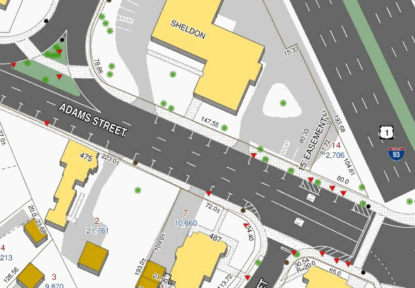
The Municipal GIS Services create maps with geospatial view of the designated municipal area linked with the corresponding database.
The municipal GIS services database has attributes for each individual property with detailed information such as land owner, co-owner, mailing & permanent address, house style, built year, individual room measurements, compliance with the regulations of the building authorities, public/private utilities mapping to the plot, street characteristics and amenities.
The municipal GIS services also provide a provision to link individual plots with their digital photographs, and a link to the map showing the location of the plot.
Municipal GIS System involves various of steps including
Computerization of land records
Digitization of existing spatial entities such as base maps
Updation of property records
Property Tax Assessment
Infrastructure database creation
Survey of the individual properties
Updation of the non-spatial database on a day to day citizen centric level

Urban Infrastructure planning and development and analysis for the future infrastructure is the major advantage of having Municipal GIS services in place. The generation of thematic map / Zoning map created a high visual impact and is used for assessment of several sectors such as for water network planning, property mapping by assessor, snow ploughing in temperate regions, maintenance of cities and civic amenities services, etc.
The updated spatial and non-spatial database on the Municipal GIS services helps the concerned Municipality to export and generate the maps and also print them for any specific usage by the concerned field officer, or the property owner at any point of time thereby saving huge cost and time.
A final citizen centric service centre is designated for a daily updation of the spatial and non-spatial database, thereby keeping this maps and other deliverables of Municipal GIS services updated.